
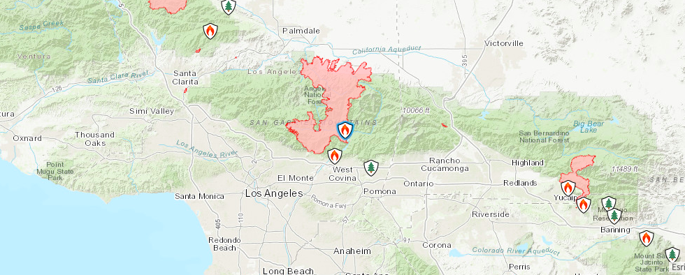
Overnight firefighters monitored and patrolled the active areas of the Bobcat fire, which is 88% contained. 115,758 Acres have burned.
Burning continued in the Valley Forge and Falls Canyon areas north of Mt. Wilson, within fire containment lines with no perimeter growth reported overnight. For the past few days, this interior island north of Mt. Wilson has been produced a large amount of smoke and it will continue to consume internal acres within the control fire lines. The smoke from this area may be more visible during the peak heat areas of the day. The containment line is not threatened with this internal burning and fire crews are in this area to monitor for possible spotting.
Due to the fire containment achieved in the last week, incident commanders of the Bobcat Fire will be transitioning from California Interagency Incident Management Team 11, to the Angeles National Forest. Resources have begun to be released from the incident to allow them to shift firefighting efforts to other critical needs throughout the state. This is the final update.
WEATHER:
Temperatures continue to gradually cool, however it will still be warm, dry and mostly sunny with passing high clouds. Terrain driven southwest winds are expected in the lower and mid-elevations for the fire in the higher terrain.
AFFECTED RESIDENTS:
For assistance, LA County residents can call 211 and make an appointment with the Local Assistance Center. The center is located Palmdale High School Assistance Center but due to Covid-19 safety concerns, walk-ins are not permitted. This center will be open until TOMORROW October 6th. Property tax relief, cleanup, repair and rebuilding information, mental health resources and help with replacing lost or damaged legal documents are all available at this Center. Please dial 2-1-1 to make your appointment.
The Red Cross Evacuation Centers at Palmdale High School and Santa Anita Park are now closed. Anyone still needing assistance can call the Disaster Distress Hotline at 800-675-5799.
EVACUATION ORDERS:
- Paradise Springs – South of Big Pines Highway, east of Devil’s Punchbowl, west of Largo Vista Road, and north of the forest.
- South and west of Upper Big Tujunga Canyon, east of Angeles Forest Highway, and north of Angeles Crest Highway.
- Residences along Angeles Crest Highway, between Angeles Forest Highway and Highway 39.
EVACUATION WARNINGS:
- South of Big Pines Highway, east of Largo Vista Road, west of 263rd Street E (County line), and north of the forest.
- South of Mount Emma Road, north of Upper Big Tujunga Canyon, east of Angeles Forest Highway, and west of Pacifico Mountain.
- East Fork Areas: Julius Klein Conservation Camp 19, Camp Williams, and the River Community.
ROAD CLOSURES:
- Big Santa Anita Rd (the Chantry road) is closed.
- Big Pines Highway is open but Big Rock Creek Rd remains closed.
- Highway 2 is closed from Big Pines to La Canada
- Angeles Forest Highway is closed from Aliso Canyon to Highway 2
- Upper Big Tujunga Canyon Rd is closed.
- Highway 39 is closed above Old San Gabriel Canyon Rd.
FOREST CLOSURE
The Angeles National Forest Closure Order is in effect until October 8th for now. The Forest is closed to all general activity, including developed campgrounds and day-use sites due to wildfire threat. Prohibition of the use of any ignition sources (campfires, gas stoves, etc.).


